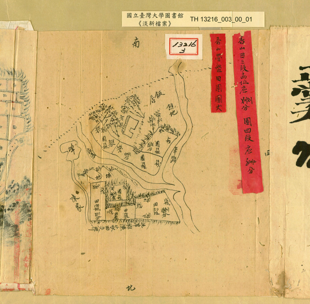
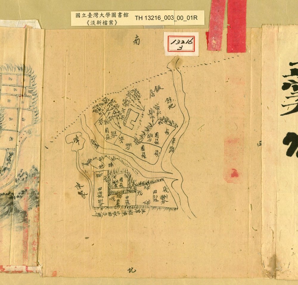
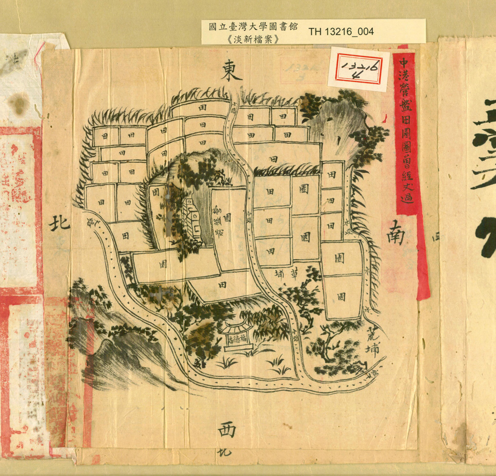
香山營盤田園圖、中港營盤田園圖
Annotated maps of the Xiangshan and Zhonggang military bases marked with cultivation areas within
1889 ✦ ──── 光緒 15 年 the 15th year of Guangxu reign
新竹縣知縣查得在香山與中港兩個營地有空地已經開闢成稻田,請臺灣北路右營遊擊將該兩處營地的空地的界限,畫成地圖,並在上面給予註解。
The Hsinchu County Magistrate, after doing investigations, realized that some part of unused open space of the Xiangshan and Zhonggang military bases had been cultivated and turned into rice paddies. He therefore requested that the Right Brigade of the Taiwan North-wing Troop should have their guerillas help with the boundary marking and to make maps of the area with clear annotation. These maps were made under that order.