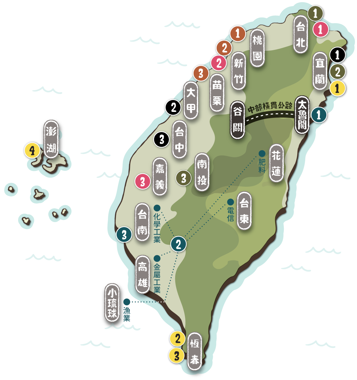
地圖瀏覽 Map
本展覽就國立臺灣大學圖書館參與「數位典藏國家型科技計畫」的 6 個資料群:《淡新檔案》、《臺灣古碑拓本》、《伊能嘉矩文庫》、《田代文庫》、《歌仔冊》、《狄寶庫文庫》中,挑選藏品,依地點、年代、資料群 3 主題,規劃中英文版網路主題特展,希望藉此呈現本館典藏的多樣化,並促進大眾之使用。
業戶郭龍明所管石牌仔后湖庄業界四至圖說
The annotated map of the boundaries of an estate in Houhu village in Shipaizi under ownership of the proprietor Guo Long-ming
驗屍格
Chart for recording autopsy inspections
香山營盤田園圖、中港營盤田園圖
Annotated maps of the Xiangshan and Zhonggang military bases marked with cultivation areas within
嚴禁妄用牛油作燭碑記
The stele inscriptions of prohibition on using lard in candle making
嚴禁棍番勒索惡習碑記
The stele insctriptions of prohibition on extortion behavior
重修文祠碑記
The inscription of the stele in commemoration of the reconstruction of the literacy temple
舊淡水縣十九社平埔蕃語一覽表《蕃語彙集(一):ペイポ族ノ部 》
A comparative vocabulary chart of 19 Ping-pu ethnic groups of former Tamsui Prefecture district (Aborigines vocabulary 1: Ping-pu ethnic groups)
基隆至頭圍路路線圖《熟蕃資料》
Route map from Keelung to Touwei (extracted from Shu-fang (civilized aborigines) Materials)
化蕃六社志《臺灣地理資料:新竹、苗栗、台中、彰化、嘉義、台南、鳳山、恆春》
The logbook from an investigation field trip to 6 aborigines’ tribes (Taiwan Geography Materials: Hsinchu, Miaoli, Taichung, Changhua, Chiayi, Tainan, Fengshan and Hengchun)
乞食改良新歌
New folk lyrics complimenting on building shelter for beggers
中部地震勸世歌
The folk lyrics concerning the Central Taiwan earthquake
臺灣故事風俗歌
The folk lyrics depicting Taiwan local sceneries and features
台灣省東西橫貫公路
Taiwan east-west cross-island highway
美援臺灣建設規劃地圖與經費分配表
US aid to Taiwan: maps for the planned constructions and industrial development, with budgeting instructions
美援時期臺灣的化學工業發展
The development of chemical industries in Taiwan during the earlier period of US aid
開拓年代圖
Development era chart
各植物距離設計表
Plant distance design chart
恆春支場之位置
Position Map of Hengchun Tropical Botanical Garden
澎湖島檢察報文:澎湖列島育殖用植物篇
Penghu Island investigation report: plants – nurturing and use in Penghu archipelago